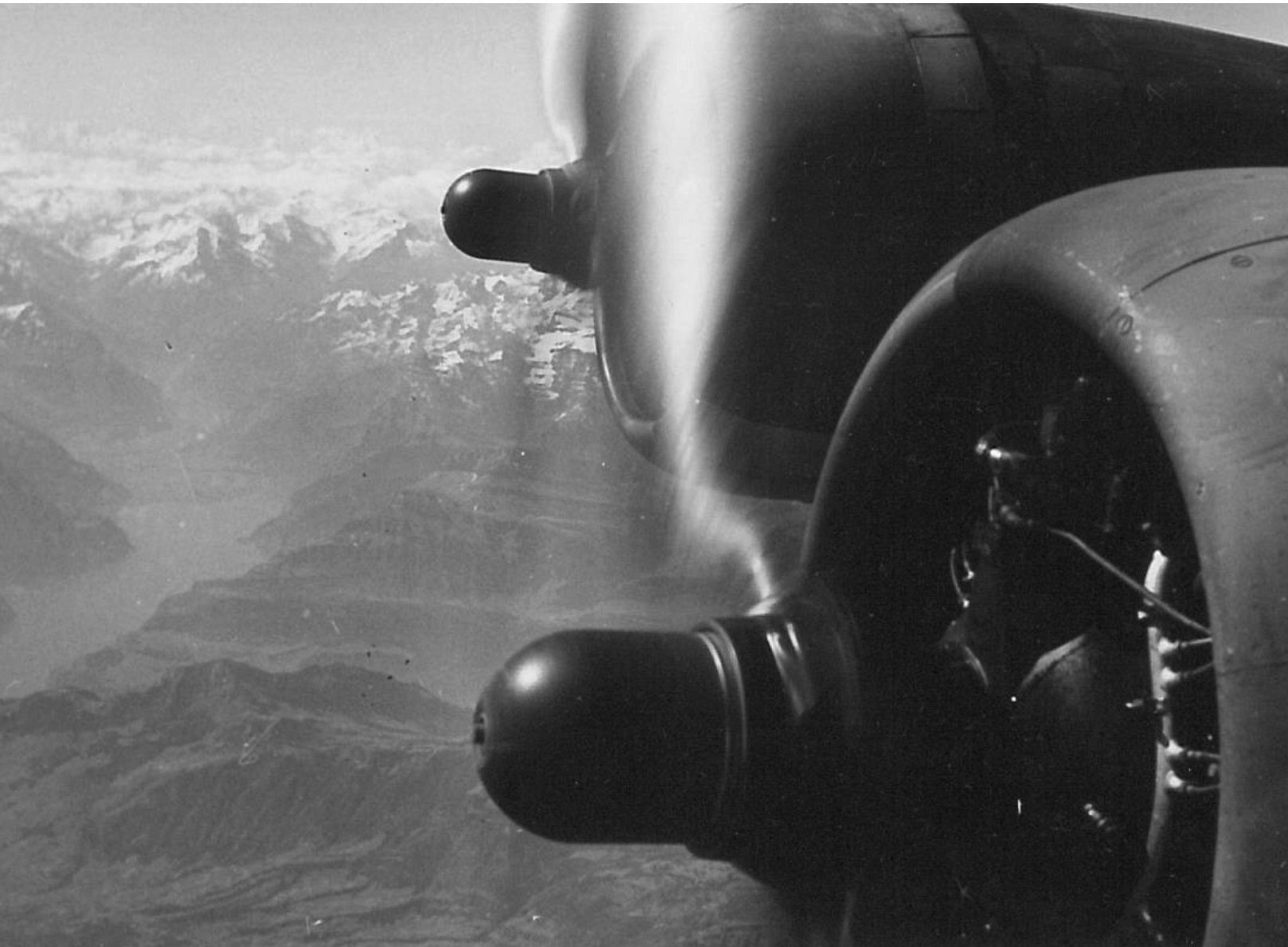
"The 1940s are particularly interesting for us because it was also relatively warm back then and the snow line was therefore very high in summer," reports Jakob Abermann from the Institute of Geography and Spatial Research at the University of Graz. "In addition, the historical aerial photographs offer the unique opportunity to analyse the glaciers over a large area." Until now, there have only been spot surveys of individual ice fields. Together with his project team, he managed to acquire copies of the images. A first glance at the documents clearly shows the disintegration of larger glaciers into small, almost static ice fields. The researchers also identified a number of newly formed lakes and changes in river courses.
"We see it as our social responsibility not to let this treasure trove of data lie dormant in archives, but to process it," says Abermann. Tobias Bolch, an expert in analysing historical aerial photographs at Graz University of Technology, has already scanned the first images. "It's amazing what high quality was achieved back then. It's high time we had detailed information on an important point in the history of the high mountains," emphasises the researcher.
In a further step, the changes in glacier areas and volumes since the Little Ice Age around 1850 will be analysed and interpreted climatologically. The results should be available in four years and made publicly accessible via Austrian mapping services.
The project is funded by several federal states, the Federal Ministry of Agriculture, Forestry, Regions and Water Management, the Austrian Academy of Sciences and the Universities of Graz, Innsbruck and Graz University of Technology.
